Atlantic crossing from the Caribbean to Azores via Bermuda. An adventure that is on many a sailor’s bucket list. Great mile builder, the opportunity to learn celestial navigation and get your RYA Yachtmaster Ocean qualifying passage.
Highlights

Dates
- Start: 30 March 2025 (Sunday, 17:00) at Sint Maarten (Caribbean).
- Finish: 26 April 2025 (Saturday, 09:00) at Horta (Azores).
The start and end dates are fixed.
Who can join
You should have at least 2 weeks of sea sailing experience to join this trip. This is a challenging route, especially at the beginning of the season.
You will become an active member of the crew. You will not be just a passenger or a guest. During the voyage, you will assist with helming, sail trimming, cooking and all the normal duties of a crew member whilst having the opportunity to learn about the weather, routing, navigation, boat handling and many more according to your interests and experience. Above all, it should be fun and recreational for everyone.
In the course of the trip, we will maintain a watch system and we will sail during the night. Therefore, there is no fixed lights-off time and your sleeping rhythm will be different than at home.
Our main language on board is English. If English is not your native language, and you don’t know the English sailing terms, don’t worry. You will learn the necessary vocabulary in no time while on board.
There will be up to 7 people on board including the skipper.
Travel logistics
You can find the best flight connections using the following websites:
How to get to Sint Maarten
Princess Juliana International Airport (SXM) is the main airport on the Caribbean island of Saint Martin. The airport is located on the Dutch (South) side of the island.
From the airport, you can get to the marina by taxi.
How to travel from Azores (Horta)
Marina de Horta is located 9km from Horta International Airport (HOR). You can take a taxi or bus to get from/to the marina.
There are direct flights from Horta to mainland destinations, optionally with a layover in Ponta Delgada.
Let us know, we can help you find the best connections!
Skipper
Marcin Wojtyczka: RYA Yachtmaster Ocean commercially endorsed, RYA Yachtmaster Cruising Instructor
What should you pack
You can download a complete checklist here.
The most important items:
- head torch for night sailing
- boat shoes with a good grip that don’t leave marks on the deck
- foul weather gear (recommended), otherwise waterproof jacket
- some warmer clothes for the night
- passport
- insurance policy
- payment/credit cards
- phone with charger
- toiletries
Note that there will be bedlinen (pillows, blankets/duvet) and towels on board.
The trip will be focused on mile-building and training. In total, we should log up to 3000 nautical miles and 500h in tidal waters.
Anticipated route:
Sint Maarten - Saint-Barthélemy - Anguilla - Bermuda - Flores (Azores) - Horta (Azores)
We will try to follow the planned route, but the final itinerary will be decided in association with you, and the crew, in light of the weather, boat and crew conditions at the time. Therefore, the amount of ports we visit, and the amount of nautical miles or hours sailed may differ from what is stated in the description. However, the start and destination ports should remain the same.
We will be maintaining a watch system to ensure everyone is well rested, meals are prepared on time and maintenance is undertaken when necessary. There will be 3 watches with up to 2 people in each watch.
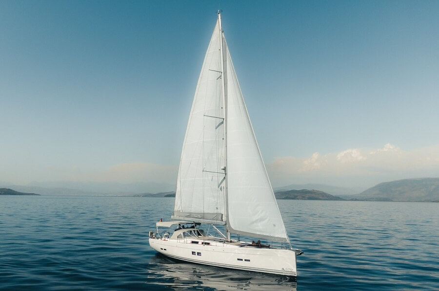
HANSE 575 "GALINI"
Galini is fast and sporty. She was designed by Volvo Ocean Race Designer and is the fastest yacht in her class. She is well-equipped and prepared for ocean sailing. She has some premium equipment on board like Starlink (high-speed satellite internet) and a washing machine. So if you have to stay connected with your business while you are away sailing, this is possible.
Follow the track on iridium tracking page.
Follow the boat on Marine Traffic (MMSI: 211632290).
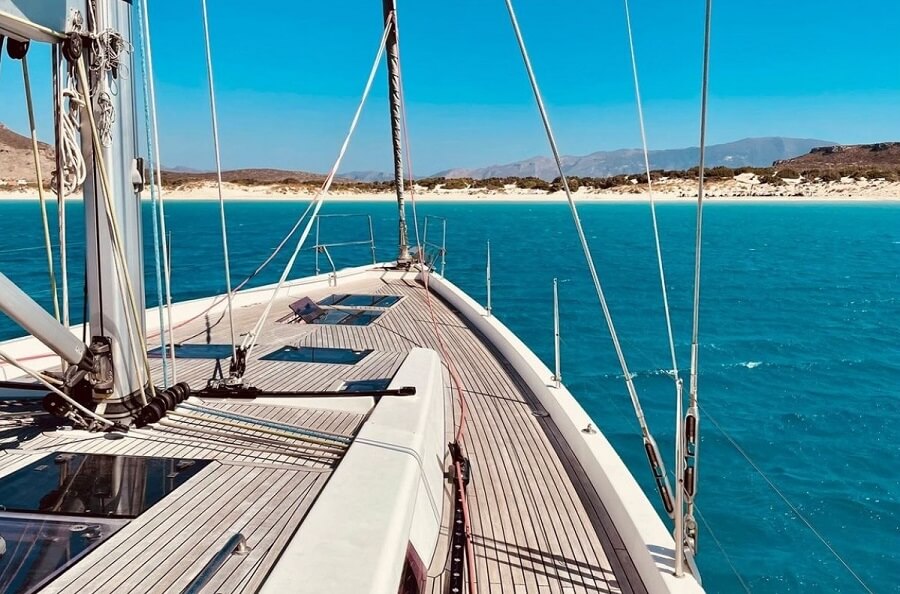

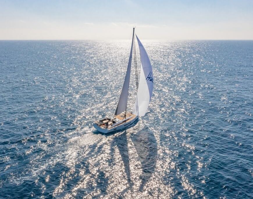
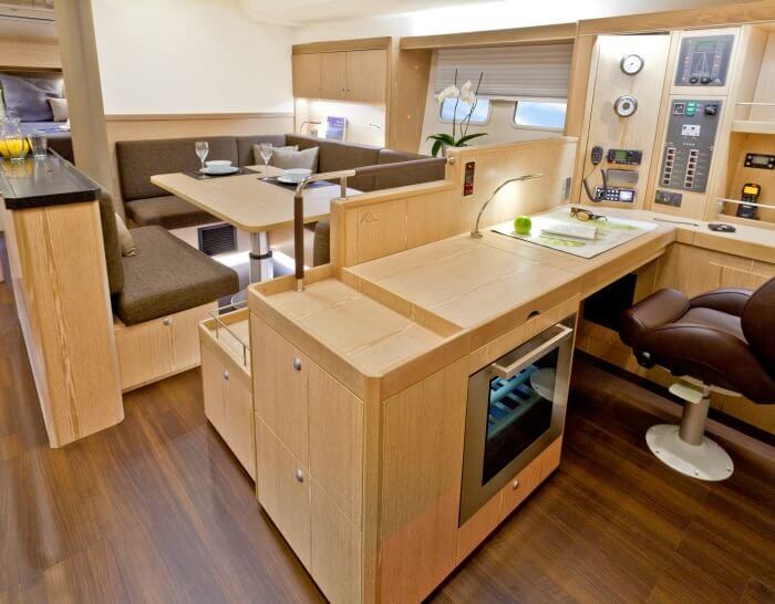
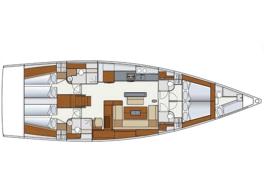
We will inspect the boat thoroughly before the voyage to ensure that every bit of equipment is absolutely ship-shaped.
General info:
- Year: 2014
- Type: sailing
- Hull: monohull
- Length (LOA): 17.15 m (57 feet)
- Waterline length (LWL): 15.15 m
- Hull speed: 9.45kt
- Berths (Bunks): 8+1
- Cabins: 4+1
- WC / Shower: 4
- Beam: 5.2 m
- Draught: 2.25 m
- Air draft: 25.3 m
- Engine: 110 HP (4JH110)
- Fuel capacity (Diesel): 520 L (tanks) + 3x20L (jerry cans)
- Water capacity: 840 L
- Displacement: 19.5 t
- Single spade rudder
- 2 steering wheels
- Sails: Fully battened mainsail 74.54 m2 (3 reefs), Furling genoa 66.25 m2 (optionally self-tacking), Asymmetric Spinnaker (Gennaker): 121.00 m2, spare sails
Equipment:
- Autopilot
- Starlink - High-Speed Satellite internet (200 Mbit/s and small ping), mobile-gobal package (unlimited data close to the shore and 100GB offshore), 70-90 W
- Iridium GO! satellite terminal (weather forecast, emergency communication)
- Air condition
- Swimming platform
- 2 Refrigerators
- Freezer
- Stove
- Washing Machine
- Sprayhood
- Radio/CD/MP3
- 12V and USB sockets
- DSC VHF radio
- 2 Handheld VHF DSC radios
- EPIRB
- AIS
- Radar
- Radar reflector
- Compass
- Sonar
- Log
- Wind instruments
- Stainless steel anchor and 100m of chain
- 2 electric winches
- 6 flex solar panels (150W per panel)
- 6KV Panda generator
- Inverter Victron multiplus, optionally providing 230V in every cabin and salon
- Watermaker (30 L per h, 12V)
- 2 B&G touch screen chartplotters behind steering wheels
- Computer with navigation software in the navigation table
- Plastimo drogue
- Sextant Astra IIIB Deluxe
- PredictWind Offshore app
- Dinghy with electric outboard
- Complete set of pilot books, almanacs and charts
- Pillows, bedlinen and towels for each crew member
- Extensive set of spares and tools: Filters, impeller, sealings, tool kit etc.
Average weather conditions:
Air and Sea temperature
The weather conditions in April are generally favourable for sailing in the Caribbean with average temperatures between 24° C and 29° C. As we move closer to the Azores the weather conditions will slowly change with expected much stronger winds and lower temperatures. Temperatures in Azores should be around 18° C during the day and 14°C during the night.
The sea temperature can be up to 25° C in the Caribbean and will fall to a maximum of 18° C in the Azores. We should be able to enjoy swimming in the ocean at least in the first half of the route.
Wind and sea state
The average wind speed in the Caribbean in April is 5 Bft. Well-established trade winds at this time of the year should enable a fast passage to Bermuda. April is also well outside the hurricane season.
The average wind speed in the Azores in April is 5-6 Bft. Azores at this time of the year are influenced by North Atlantic low-pressure systems so frontal depressions are not uncommon. Therefore, from Bermuda, we will likely take an easterly route before sailing more north towards the Azores. With that strategy, we should stay in the southern sector of any low-pressure systems and can take advantage of favourable westerly winds.
The sea state is expected to be moderate to rough (more so as we move north). Atlantic swell is common throughout the whole sailing area.
As we sail from Bermuda to Azore, we should have a favourable current that can add an extra 0.5 kt or so to our speed.
See details in the pilot charts for April.
The route is divided into several ocean passages with lots of night sailing. You will receive a certificate of passage to prove your sea time for sailing licenses. You will be an active member of the crew, and we will provide practical training on board to ensure safety and improve your sailing skills.
We give a great amount of responsibility to each crew member in running the ship so that you can gain a good experience and learn new skills as much or as little as you want. The skipper is an instructor and will find it difficult not to teach or coach anyone who shows the slightest bit of interest.
RYA qualifying passages
If you are an aspiring Skipper or Yachtmaster, it will be an excellent opportunity to gain bluewater miles, practice navigation, pilotage and COLREG skills so that you can be more confident and comfortable when taking a boat out to sea on your own. During the voyage, we can evaulate your current knowledge and provide suggestions for improvement. We can evaluate whether you are at the right level to pass an RYA exam and practice any gaps in your knowledge.
The long ocean passages from the Caribbean to Bermuda and from Bermuda to the Azores can be used as a qualifying passages for RYA Yachtmaster Ocean if that’s what you need. You will be able to get your mileage and required celestial sights during the trip.
Main topics that you can learn or brush up:
- Maneuvering under sails & engine: berthing, hoisting and lowering sails, reefing, tacking, gybing, sail trim
- Safety: use of liferaft, lifejacket, EPIRB, PLB, AIS beacons, emergency procedures
- Equipment: use of Autopilot, Radar, AIS, VHF, Satellite communication
- Weather forecasting and weather routing
- Anchoring in swell (bridle, stern anchor)
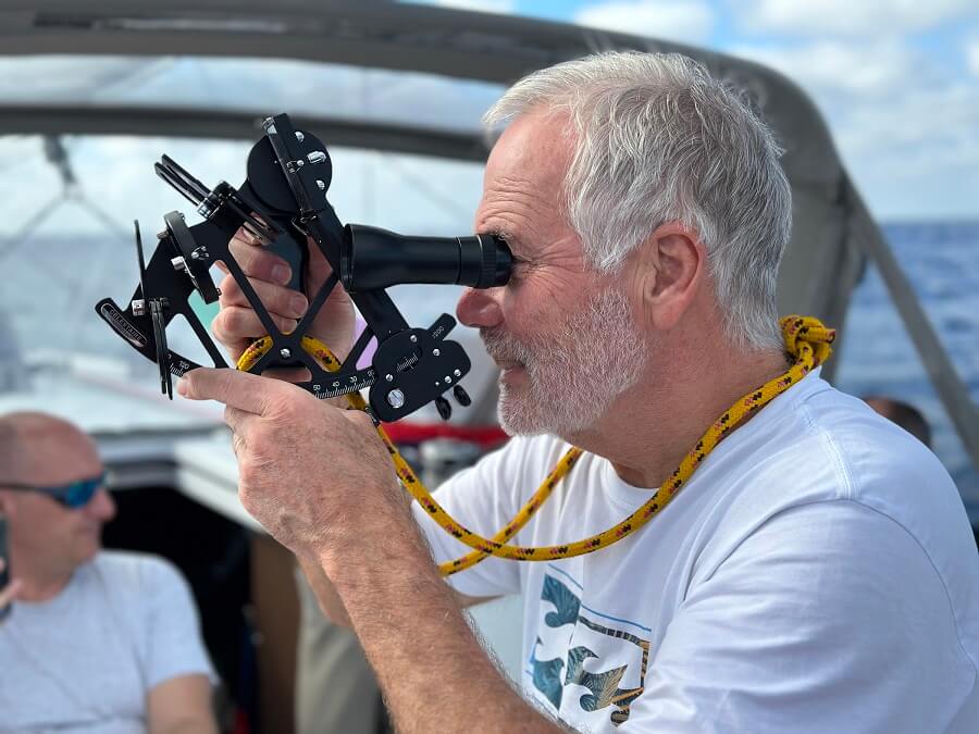
- Offshore & coastal navigation: digital and traditional (including the use of Sextant)
- Night navigation
- Pilotage and passage planning
- ColRegs
- Storm tactics and use of a drogue
- Use of Asymmetric Spinnaker (Gennaker)
- Life on board: organization of watches, nutrition, sleep and risk management
Celestial navigation (astronavigation)
During the voyage, we will practice traditional methods of fixing positions without sight of land using celestial navigation. You will learn how to use a sextant and how to calculate your own position using the sun, planets, moon and/or stars.
We will try to follow the anticipated route, but on the sea, we need to remain flexible as we cannot plan and anticipate everything. Therefore, your expectation might be different than what you experience, subject to weather, boat and crew conditions and what the majority of the crew wants.
Joining day - Sint Maarten (30 March)
There is a huge amount to prepare for an Atlantic crossing and we will get you fully involved. We will spend the first 2-3 days on training, preparing and victualling the yacht, going over the safety routines and practices, getting up to speed with the boat and learning or refreshing all the basic sailing skills before we embark on the journey. Once we slip the lines there will be plenty of occasions to practice tacking, gybing, reefing, boat handling under the engine and all the other key skills we must have.
The exact starting marina will be communicated closer to the trip. This should not be a problem as Sint Maarten is relatively small and everything is close to the airport.
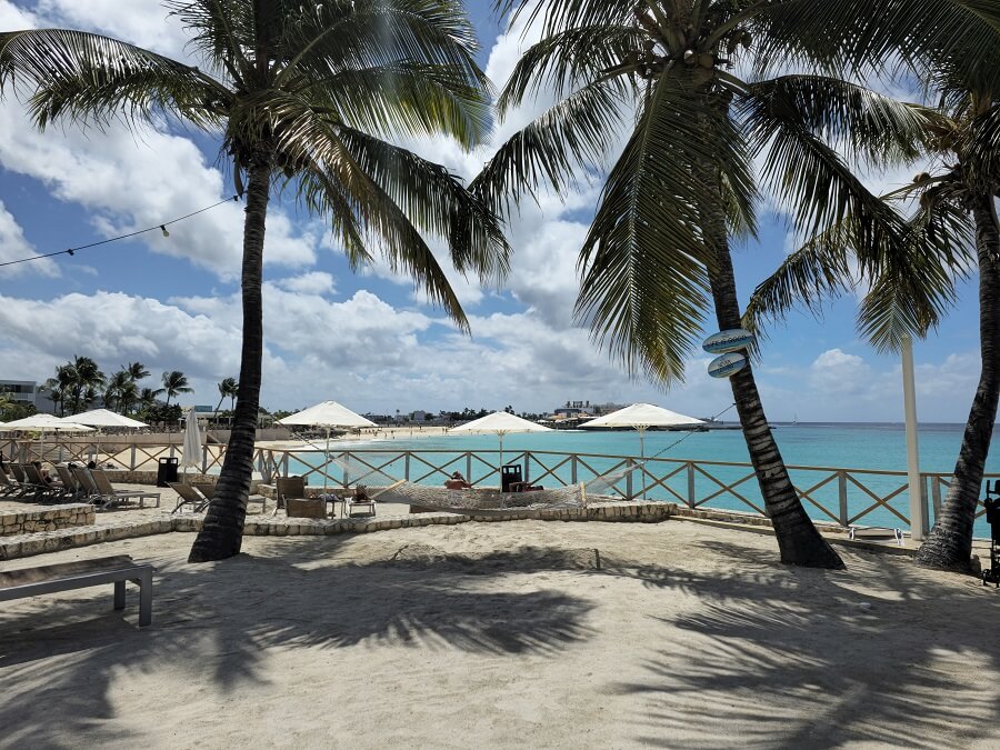
Sint Maarten
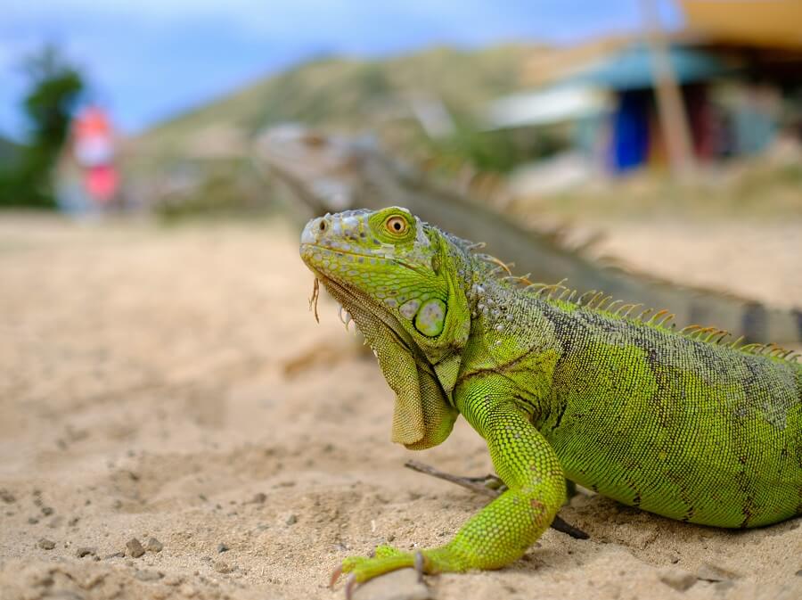
Wildlife in Sint Maarten
St-Martin island is split between France (North) and the Netherlands (South), which makes it the smallest area in the world to be divided into two countries. St-Martin does not have very strong or deep French roots because most of the French colonists left when slavery was abolished. They were replaced by Anglo-Saxon planters and a few Swedes who rented their old estates.
The Dutch (southern) part of the island, Sint Maarten, has attractive coastal lagoons, salt pans, and sand spits. The French (northern) part of the island, Saint-Martin, has good beaches and forest-covered hills. French is the official language, and English is widely spoken.
Saint-Barthélemy (18 NM)
Saint Barthelemy, a French-speaking Caribbean island commonly known as St. Barts, is known for its white-sand beaches and designer shops. The capital of Saint-Barthélemy (St-Barts) has been a free port since the 18th century and has a rich history of adventuring and smuggling. Around its rectangular harbour, there's a chessboard pattern of streets full of small, red-roofed houses. It is colourful and well-maintained, marrying different Creole architectural styles. There are lots of shops selling the most famous French brand names that are, best of all, duty-free. On the narrow area around the quays, you'll be spoiled for choice over bars and restaurants.
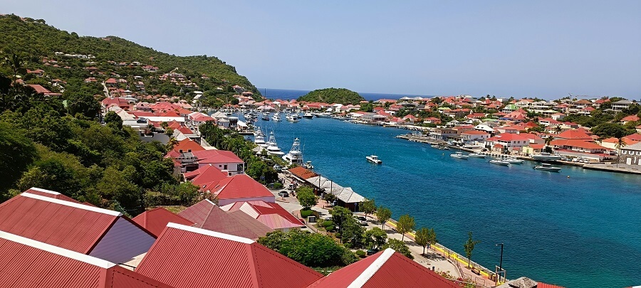
Gustavia Harbor
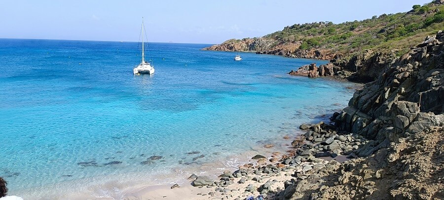
One of many achorages on St-Barts
Outside Gustavia, the island's other settlements are only little villages made up of a few pretty painted cottages untouched by tourism. So until very recently you could still come across some signs of the old way of life, such as the rare old ladies of St Barts in their traditional Breton or Norman Headdress.
Anguilla (40 NM)
Anguilla is the last of the Leeward islands before reaching the Virgin Islands. The English were the first colonists and arrived in the 17th century. They tried, without much success, to grow tobacco and sugar cane on its meagre soil. The wonderful beaches and lovely small neighbouring islets surrounded by coral reefs were attraction enough but in addition the government has created several well-protected marine reserves to preserve the rich submarine flora and fauna.
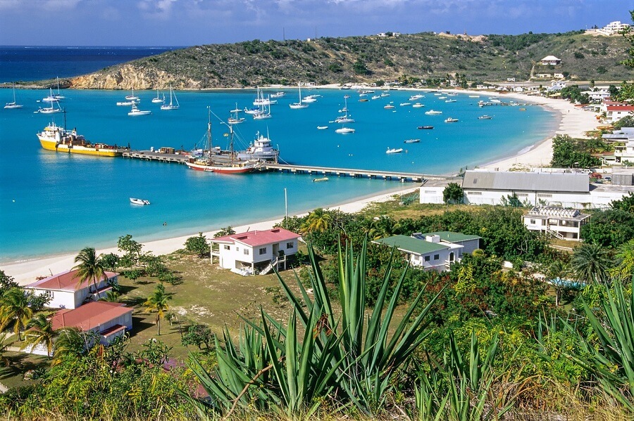
Road Bay
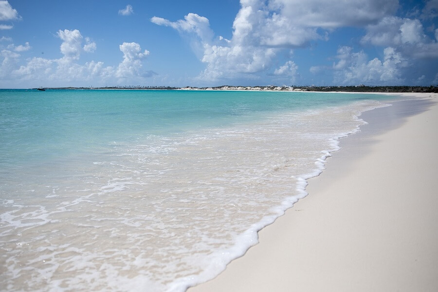
One of many beaches on Anguilla
We will anchor in Road Bay. There is also a collection of small islands and reefs around Anguilla that we may visit (e.g. Sandy Island, Dog Island, Seal & Prickly Pear Islands), most of which are deserted sanctuaries for frigate birds. These are wonderful spots for a short stop in fair weather.
Bermuda (850 NM)
Bermuda, a British Overseas Territory, is a regular port of call for those returning to Europe from the Caribbean before the hurricane season. We will anchor in St George's Harbour and take the dinghy ashore. The town was founded in the early 17th century as a result of the well-documented shipwreck of Admiral Sir George Somers.
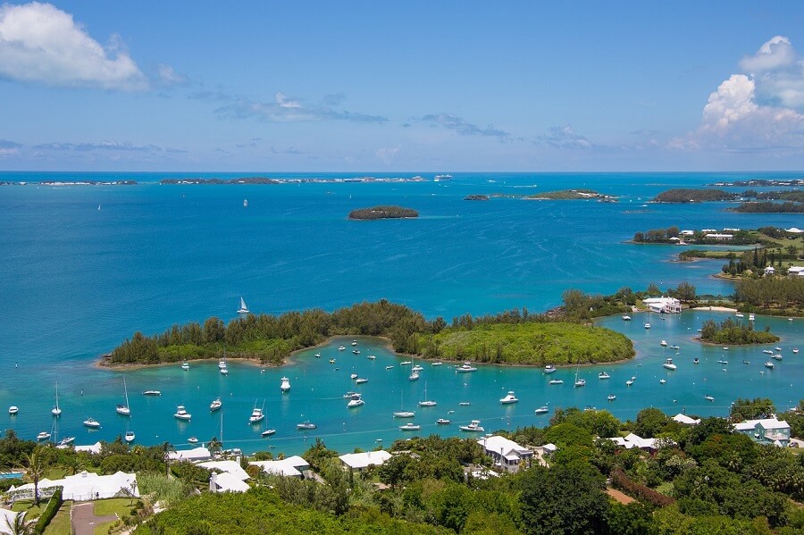
St George's harbour
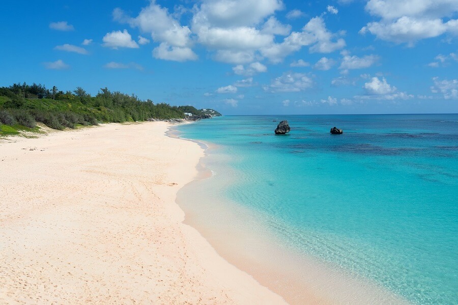
Elbow beach
Hamilton is the capital city of Bermuda. It can be reached from St George by bus or taxi. Along the harbour, Front Street features pastel-coloured colonial buildings and high-end shops. The Stone Cathedral of the Most Holy Trinity has a tower with nice city views.
There are several marinas but most berths are fully reserved for members. Hamilton is the home of a beautiful Royal Bermuda Yacht Club. Founded in 1844 under a calabash tree by a group of gentlemen, mostly officers in the British army. It is a club that prides itself on its contribution to sailing at all levels, from boat design and match racing to its well-respected sailing academy. The Club is host to the famous Newport Bermuda Race and other international events.
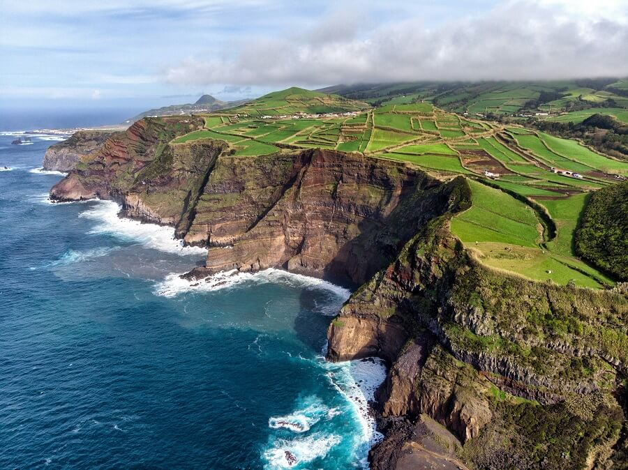
Azores - Flores Island (1800 NM)
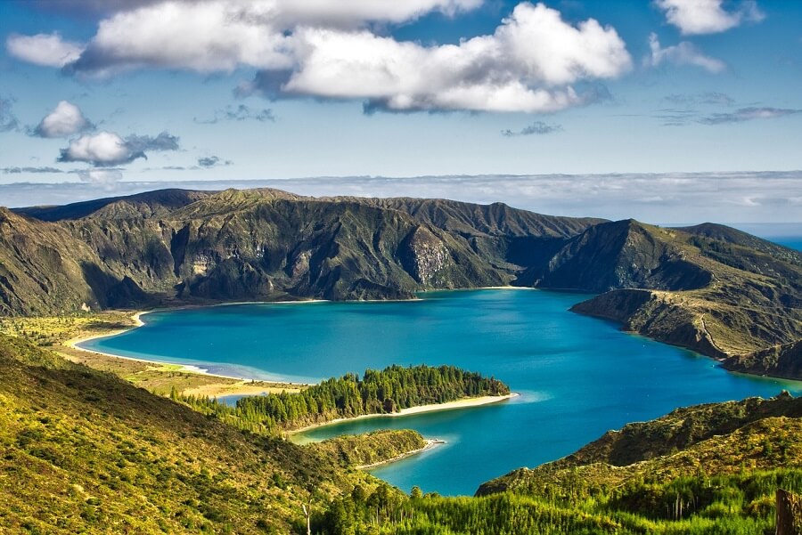
Flores is one of the remotest islands of the remote archipelago of the Azores. This remote place is a piece of paradise, which has landscapes of extreme natural beauty. The island is heaven for sustainable and eco-tourism and a stunning place for hiking or just doing nothing and contemplating nature.
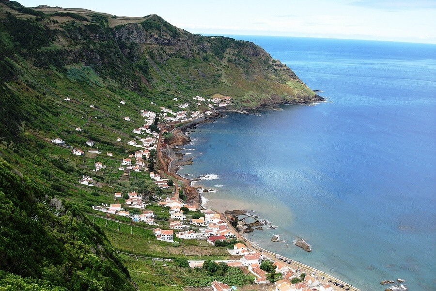
Flores island
Corvo island
If time allows, we may visit Corvo island. It is the smallest island in the Azores, where you can feel the real experience of isolation and remoteness. You will know it from the moment you step on the island. The island is very scenic. Unfortunately, it's almost impossible to anchor on the island due to constant swell and difficult bottom. But a ferry from Flores may be an option.
Horta (130 NM)
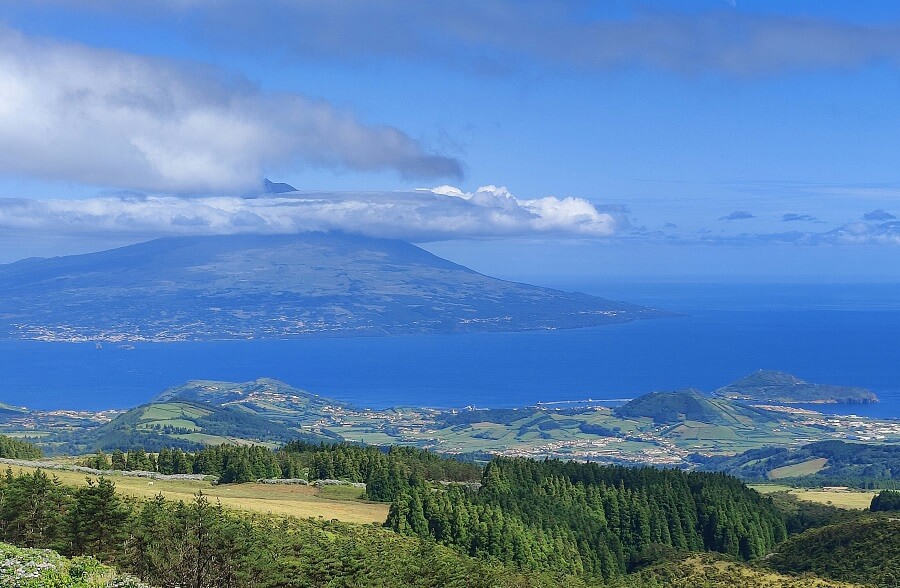
Horta on Faial island is a truly icon town for transatlantic sailors. Many passenger ships and sailboats from around the world come to this Azores island. The town is nestled at the bottom of the volcano Monte da Guia and the Ponta da Espalamanca.
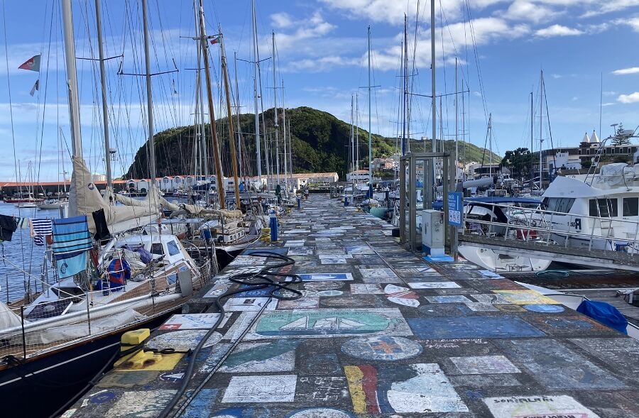
Both the new and the old Marina have paintings on breakwaters which are done mostly by sailors. According to the legend, it is considered a bad omen to leave these ports without having left a pictorial memory.
Faial island with a stunning view over Pico
Famous Horta harbour
At the top of Horta, you will find beautiful walks with spectacular panoramic views. On these walks, you can see the channel, nearby islands, and some iconic buildings.
Horta, Finishing day, 26 April
We will finish leg 1 in Marina da Horta and spend a day in this iconic place. We will continue our trip from here and start the second leg.
Check out the FAQ section for common questions.
Still have questions? Please don’t hesitate to contact us. We’d love to hear from you.
- Related articles:
- Routes